April 2025

Field Data Collection and Management Using ArcGIS

Field Data Collection and Management Using ArcGIS Learn how ArcGIS supports a complete field data management workflow—from the office to the field, in the field, and back to the office. You will learn best practices to configure and deploy ArcGIS field-productivity apps to meet your data-collection needs. You will have the opportunity to use your […]

Field Data Collection and Management Using ArcGIS Read More »

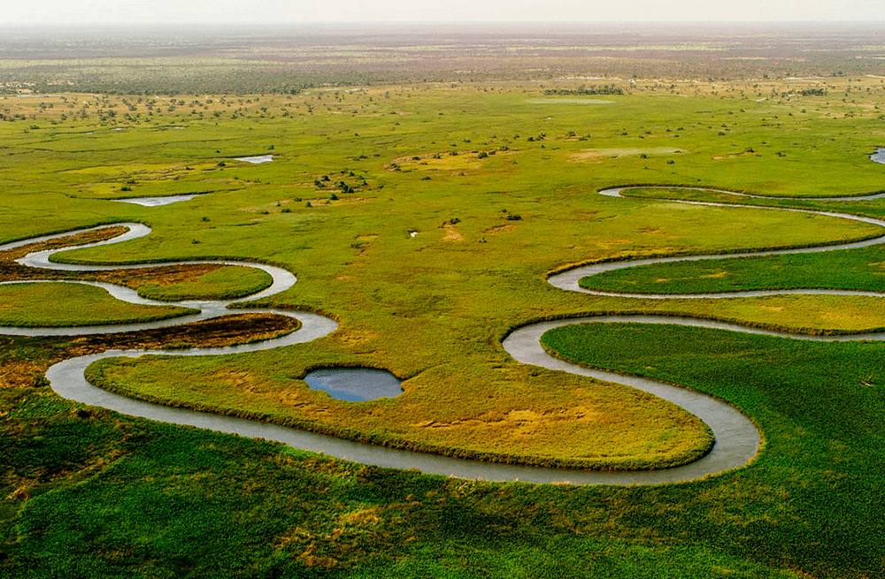
GIS helps support the sustainability of riparian ecosystem in the Okavango Delta

In Mauritius, an island nation located off the coast of Africa, the Central Water Authority (CWA) serves nearly 400,000 customers. The goal of the water authority is to ensure a sustainable water supply that supports the economic development of the country. The water authority lacked a standard, centralized database of its distribution network, which consisted

GIS helps support the sustainability of riparian ecosystem in the Okavango Delta Read More »

Scroll to Top