
ArcGIS for Local Authorities (AFLA)
Suite of geo-enabled workflow-based modules designed and built specifically for the South African Local Authority market.

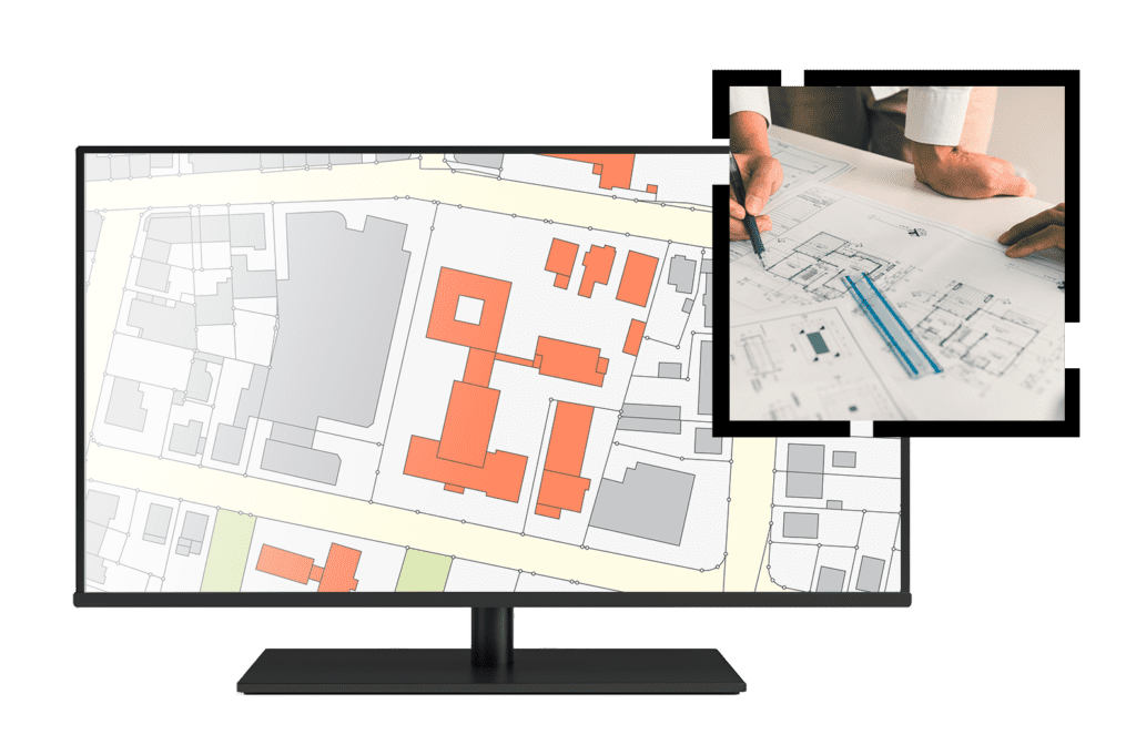
ArcGIS For Local Authorities is a suite of modules designed and developed by Esri South Africa to aid municipalities to function more efficiently and to enhance their revenue generation process. AFLA is a web-based, geo-enabled system that enables the electronic lodging, monitoring and management of Town Planning Applications, Building Plans Applications, Property and Lease Applications, Cemetery Applications and Wayleaves Applications. In terms of the Valuation System, the system has been developed using the CAMA (Computer Aided Mass Appraisal) approach to valuations . The entire system is built on a workflow that follows municipal by-laws step-by-step, allowing for compliance with various legislation such as SPLUMA, Building Acts, mSCOA, and MPRA.
The Value of AFLA
AFLA supports the Property Value Chain (PVC) which is a core function of a Local Authority and facilities improved revenue generation though correct billing for Rates and Taxes. AFLA provides the following additional value:
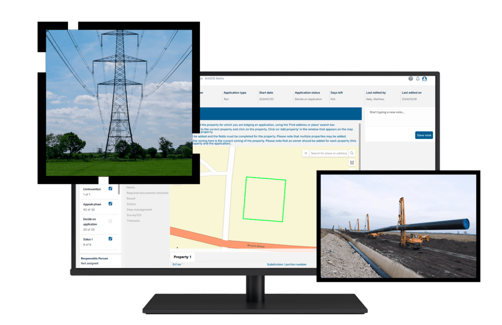
- Promotes Ease of doing business as it is an Online System comprising of public facing portal allowing applicants to register and submit applications from anywhere.
- Applicants are kept up to date with the status of their submitted application/s via the online portal.
AFLA comprises of the following Core Modules


AFLA comprises of the following Core Modules