Fundalula is a classroom-ready GIS learning solution designed to support Geography teaching in South African schools. It helps learners understand mapwork and GIS concepts in a practical, interactive way, while aligning with the CAPS curriculum and preparing learners for a digital, location-aware world.
The Challenge: Learners find mapwork and GIS difficult to understand; Geography feels disconnected from everyday technology; Schools struggle to introduce GIS in a simple way
The Solution: A simple, computer-based GIS tool for classrooms; Aligned with the CAPS Geography curriculum; Designed to support teaching, learning and assessment
The Benefits: Better understanding of mapwork and GIS concepts; More engaging and interactive Geography lessons; Builds digital and spatial skills for future careers
The Challenge
Many South African teachers face educational and technological constraints that make it difficult to teach Geographic Information Systems (GIS) effectively. As a result, learners struggle to develop essential spatial and mapwork skills that are increasingly important in today’s digital, location-aware world.
The Solution
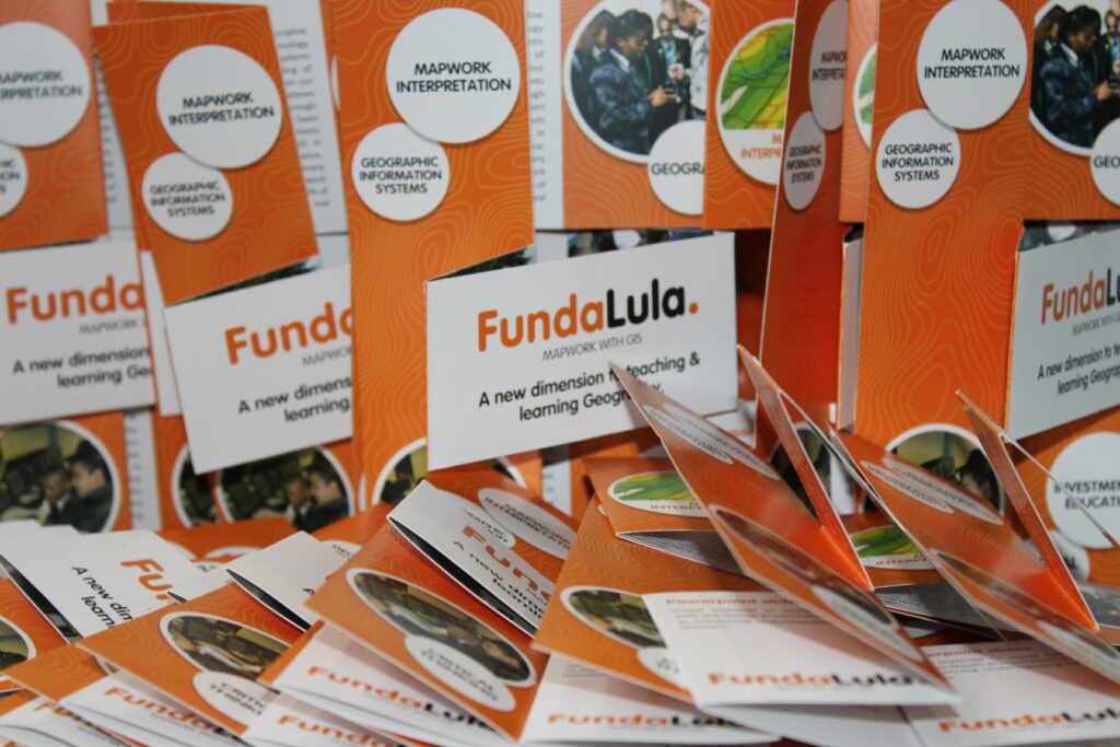
Fundalula is a computer-based learning programme developed by Esri South Africa to support the teaching of Geography, Mapwork and GIS in line with the CAPS curriculum for Grades 10–12.
It covers key learning areas including basic mapwork, topographical and orthophoto maps, map interpretation, GIS and remote sensing. The programme provides teachers and learners with ready-to-use classroom resources such as activities, videos, digital maps and learning materials.
Fundalula is easy to use, requires no prior computer skills, and can be used without an internet connection, making it accessible for a wide range of school environments.
Impact
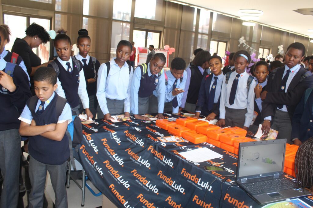
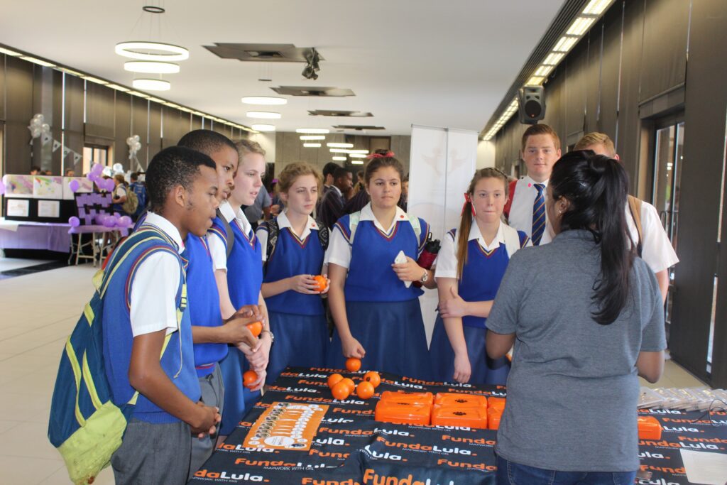
Fundalula has been adopted by many schools across South Africa, where it is actively used in classrooms to support the teaching of Geography and GIS. Feedback from teachers shows that the programme has made GIS easier to teach, while building confidence and improving learner engagement.
Educators have highlighted the value of the training and resources provided alongside the software. According to Mr SK Zwane, Principal of Leneha Tumisi School in KwaZulu-Natal, the programme has had a positive effect on both teaching and learning outcomes, contributing to improved Geography results.
Fundalula has also been implemented at tertiary level through a long-standing collaboration between Esri South Africa and the University of Pretoria. Final-year Bachelor of Education students specialising in Geography use Fundalula as part of their methodology training, gaining practical GIS experience.
The programme has received high praise from academic leaders, including Professor Johan Wassermann, Head of Humanities Education, who commended the interactive teaching approach, clear presentation of content, and the use of real-world GIS applications. Ongoing feedback from teachers and students continues to highlight the programme’s simplicity, relevance, and practical value in the classroom.
The Future
Fundalula will continue to evolve to support the changing needs of South African classrooms and the future of Geography education. As digital and spatial skills become increasingly important, the programme aims to expand its content and learning experiences to further strengthen GIS understanding at school level.
Esri South Africa remains committed to empowering teachers and learners through accessible, practical GIS education. By growing the Fundalula programme and its supporting resources, the initiative will continue to prepare learners for further studies, careers in geospatial fields, and participation in a technology-driven, location-aware world.