What is Curated Open Data?
High-Quality Data Tailored for Impactful Decision-Making

Curated open data refers to carefully selected, processed, and maintained datasets sourced from public domains, authoritative government entities, and derived value-added sources. This data is optimised for use within Esri’s GIS platform, ensuring accuracy, reliability, and relevance across various industries and solutions.
Empower your organisation with curated open data.
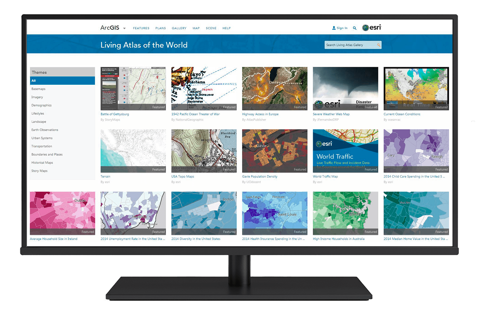
Our offerings include Living Atlas of the World which combines the best public, authoritative, and value-added data, enabling faster insights, smarter decisions, and innovative solutions across industries.
By reducing the time spent on data sourcing and preparation, we help you focus on leveraging spatial intelligence to drive impactful outcomes.

Accuracy and Reliability
Access high-quality, authoritative datasets from trusted sources such as government agencies, industry leaders, and Esri’s derived resources. Each dataset is validated to ensure precision and consistency for critical decision-making.
Time-Saving and Ready-to-Use
Eliminate the time-consuming process of data collection and preparation. Curated datasets are pre-processed, standardised, and readily available, enabling faster deployment in GIS workflows.
Seamless Integration
Esri’s curated data is optimised for integration into the ArcGIS ecosystem, ensuring compatibility with tools like ArcGIS Pro, ArcGIS Online, and other applications. This streamlines workflows and maximizes the value of your GIS investment.
Enhanced Decision-Making
Leverage curated data to uncover actionable insights, identify trends, and make data-driven decisions tailored to your industry needs, from urban planning to retail analytics and environmental management.

Diverse Data Coverage
Gain access to a wide range of datasets, including public domain information, demographic statistics, property data, satellite imagery, and specialised value-added content to meet unique business requirements.
Scalable for Industry Solutions
Whether you are in financial services, utilities, real estate, or public safety, curated data empowers industry-specific applications, supporting solutions like site selection, risk analysis, resource optimisation, and more.
Cost-Effective and Efficient
Reduce the overhead of maintaining and updating datasets by leveraging Esri’s Data as a Service model. Focus on achieving your objectives while we handle data sourcing, cleaning, and management.