Imagery
Unlock the Power of Earth Observation for Informed Decision-Making

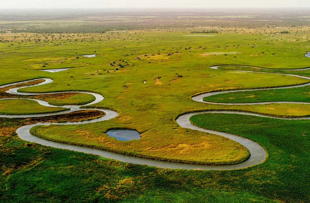
Imagery provides a powerful means of observing and analysing the Earth’s surface from space or aerial platforms. By capturing data across various spectral bands, it enables the detection of patterns, changes, and insights that are invisible to the naked eye. Integrated within Esri’s GIS platform, remote sensing imagery supports applications across diverse industries, from environmental monitoring and urban planning to agriculture and disaster management, delivering precise and actionable intelligence for smarter decision-making.
The value of imagery
Imagery, integrated with Esri’s GIS technology, offers unparalleled value by transforming raw data into actionable insights. This powerful combination enables organisations to gain a competitive edge, optimise operations, and create meaningful impact in their communities and industries.
Comprehensive Data Integration
Seamlessly combine remote sensing imagery with other geospatial data layers in Esri’s ArcGIS platform for a holistic view of your projects.

Enhance Decision Making
Access detailed, high-resolution imagery to detect subtle changes and patterns, enabling precise analysis and informed decision-making.
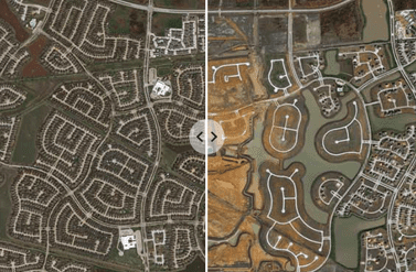
Multi-Spectral and Temporal Analysis
Leverage data across multiple spectral bands and time periods to monitor dynamic processes like crop health, urban growth, and environmental changes.

Mitigate Risks
Proactively address challenges such as disaster response, climate change impacts, and urban sprawl with real-time, accurate geospatial intelligence.

Scalable Solutions
From local to global scales, remote sensing imagery adapts to your needs, whether you’re analysing a single field or an entire continent.
Cost-Effective Resource Management
Reduce operational costs by optimising resource allocation, improving agricultural yields, and minimising risks through predictive analysis.
Enhanced Collaboration
Share insights and collaborate effectively with stakeholders using Esri’s intuitive tools for visualisation, storytelling, and reporting.

Sustainability and Resilience
Support sustainable practices by monitoring environmental changes, managing natural resources, and planning for climate resilience.