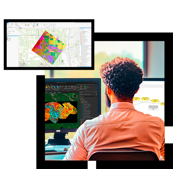
NV5 Geospatial Software (ENVI)
Use ENVI® Geospatial Analysis Software to Extract Timely, Reliable, and Accurate Information from Geospatial Data.

ENVI is the industry standard image processing and analysis software and underlying technology for the ENVI Ecosystem of solutions. It is used by image analysts, GIS professionals, scientists, and organizations around the world to make critical decisions and solve difficult problems with confidence.
The Value of NV5 Geospatial Software (ENVI)
ENVI uses scientifically proven analytics to deliver expert-level results. Businesses and organsations choose ENVI geospatial analysis software because it integrates with existing workflows, supports today’s most popular sensors, and can easily be customised to meet unique project requirements.


