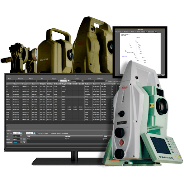
WinMinOp Underground Survey Software
Total Underground Survey package for the mining environment in Southern Africa.

WinMinOp Survey software, developed by Atir3d, has been an ongoing tool developed since 1996 specifically for mining survey in Southern Africa. By supporting a range of survey instruments used in South Africa, Winminop likely provides seamless integration with various data sources, which is a crucial feature for mining operations that rely on accurate geographic and topographical data. The ability to plot or import data into multiple CAD packages also adds flexibility, enabling surveyors to analyse and visualise their data in formats that are compatible with broader industry tools.
The Value of WinMinOp
WinMinOp can seamlessly communicate with all current generation instruments in Southern Africa. Survey calculations are immediate and if within tolerances, can be plot or imported directly to CAD packages.


